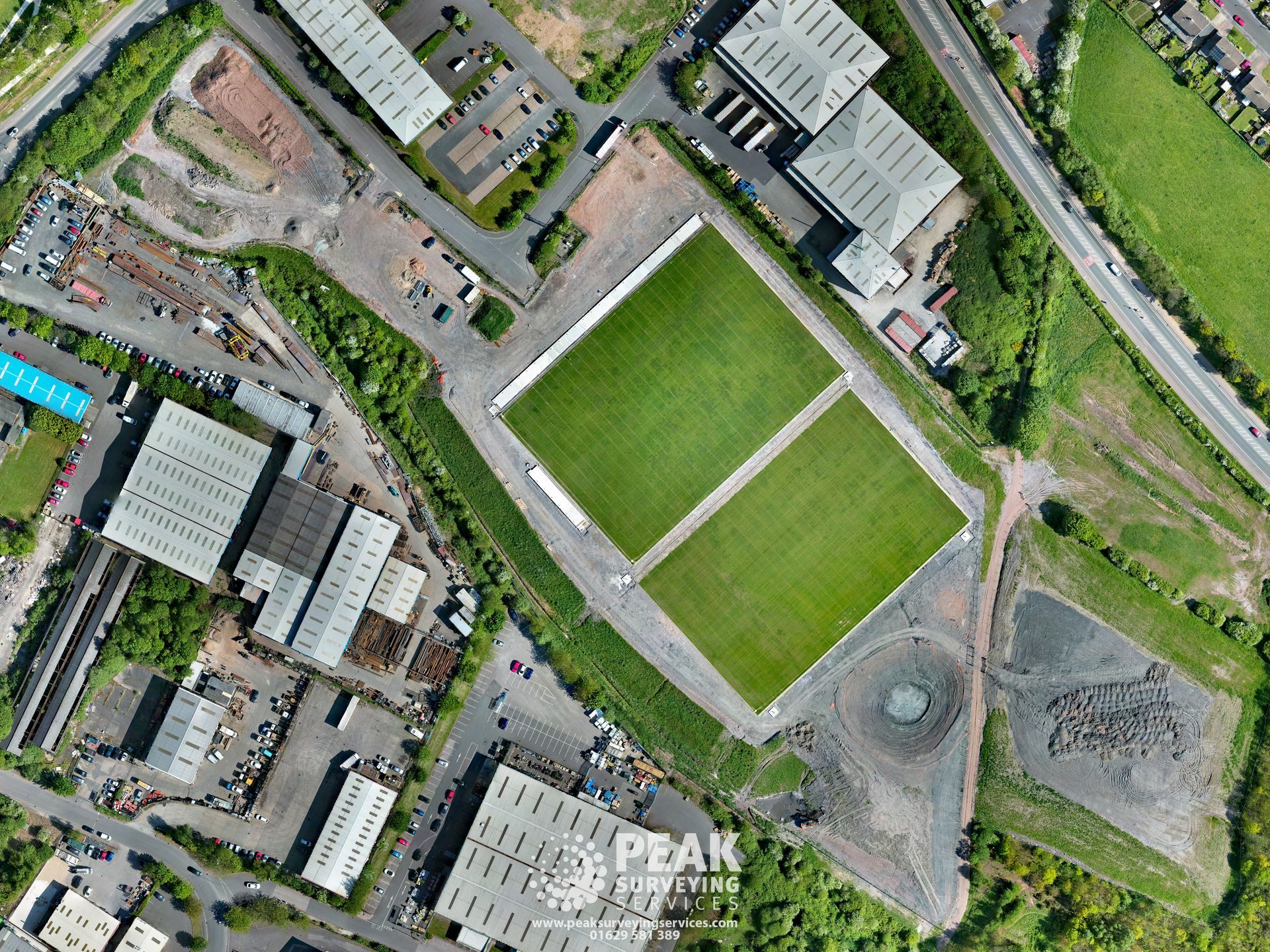
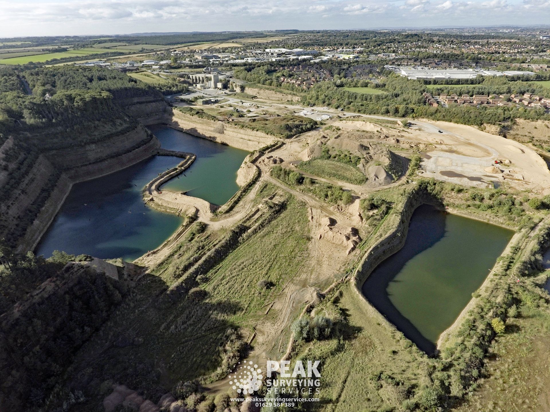
We have a Civil Aviation Operational Authorisation (OA) licence and offer out a wide range or aerial photography and videography services from standard aerial photography and large scale orthomosaics to roof inspections.
Should you require any assistance or have any questions regarding our services, our friendly team are always on hand to answer any questions.
Whether your requirement is for an initial topographic survey as a starting point for an architect, an annual quarry survey or setting out of foundations for a building we can assist at any stage of projects.
Whatever land development is proposed, whether large or small, individual buildings or structures, industrial developments, housing, quarries, windfarms or golf courses, PSS should be your first choice surveyors.
Accreditations and Training
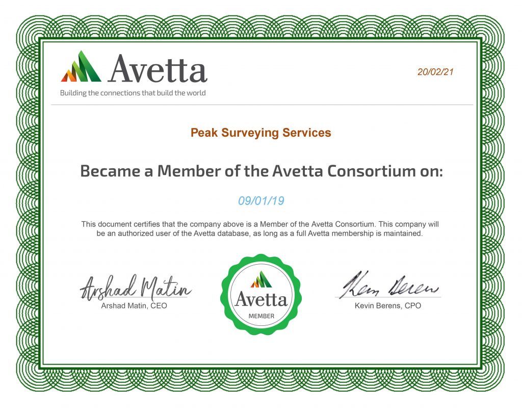
Peak Surveying Services have been a member of the Avetta network since January 2019.
Avetta membership shows our clients we adhere to health & safety and compliance practices.
Peak Surveying Services are Civil Aviation Authority (C.A.A) licenced drone operators.
The C.A.A is responsible for the regulation of aviation safety in the UK including UAVs and drones. Permission to operate a UAS for ‘aerial work’ is required from the C.A.A.
C.A.A Permission: PAndEUAS2728.
Operator ID: OP-VWJFCMB

Drone Pilot Academy
Peak Surveying Services employees have undergone training with the Drone Pilot Academy and been awarded the DPA-C accreditation.
Safety Pass Alliance
Safety Pass Alliance (SPA) Ltd is an organisation whose purpose is to design and implement national Safety Passport Training Schemes and to effect their delivery through a national network of accredited training providers.
Peak Surveying Services employees have undertaken the Mineral Products training course which concentrates on risks specifically found in the Mineral Extraction and Products Industry.
All Peak Surveying Services employees are first aid trained through the British Red Cross.