Surveying Services
Using state of the art surveying technology, including GPS and robotic reflectorless instruments, PSS offer surveying services which provide accurate true representations of 3Dimensional physical structures, vegetation and built engineered features.
Levels of accuracy and detail are tailored to client requirements and end-use purposes and vary from the high precision required for civil engineering construction applications to the lower orders of accuracy required by, for example, the quarrying sector.
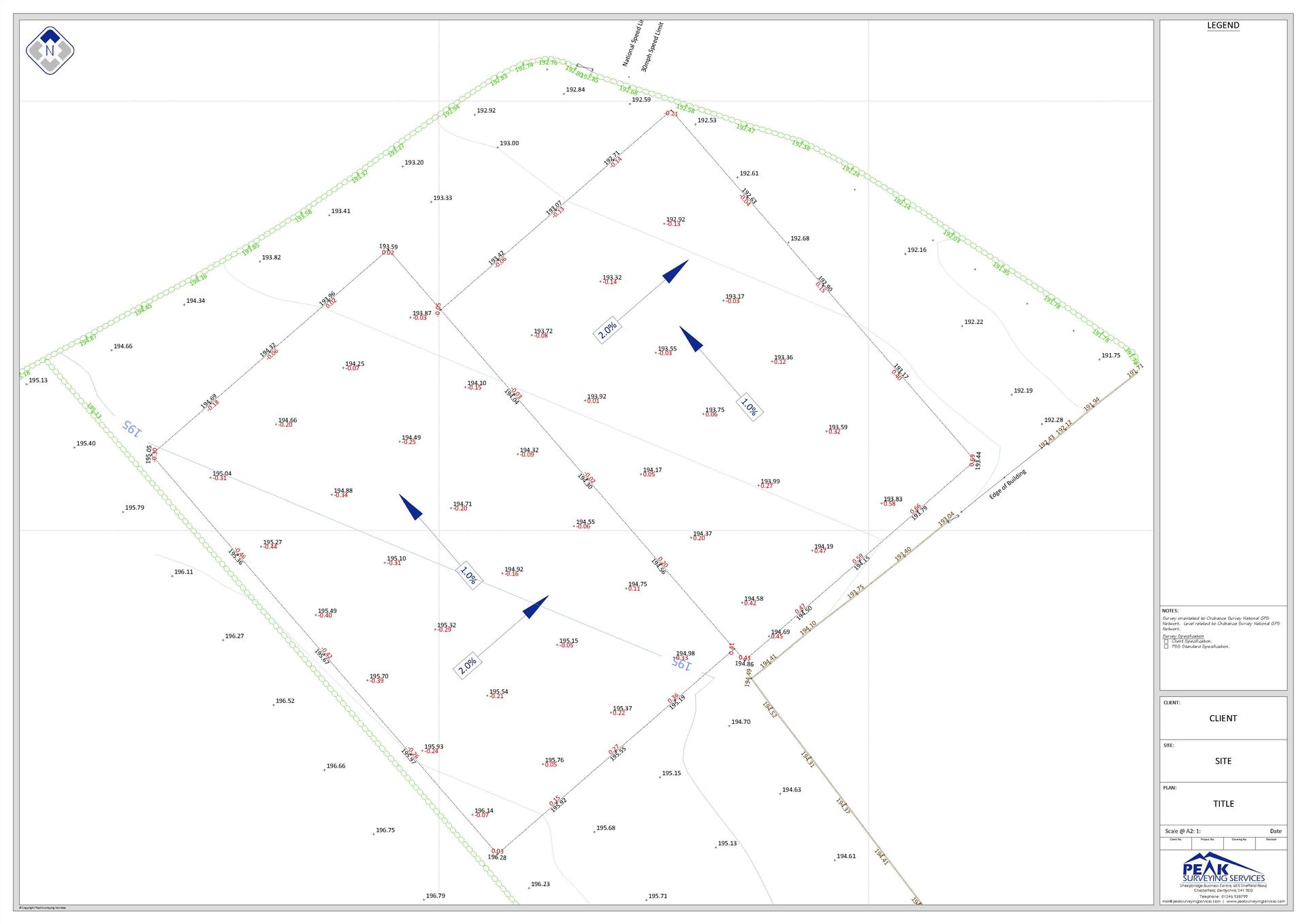
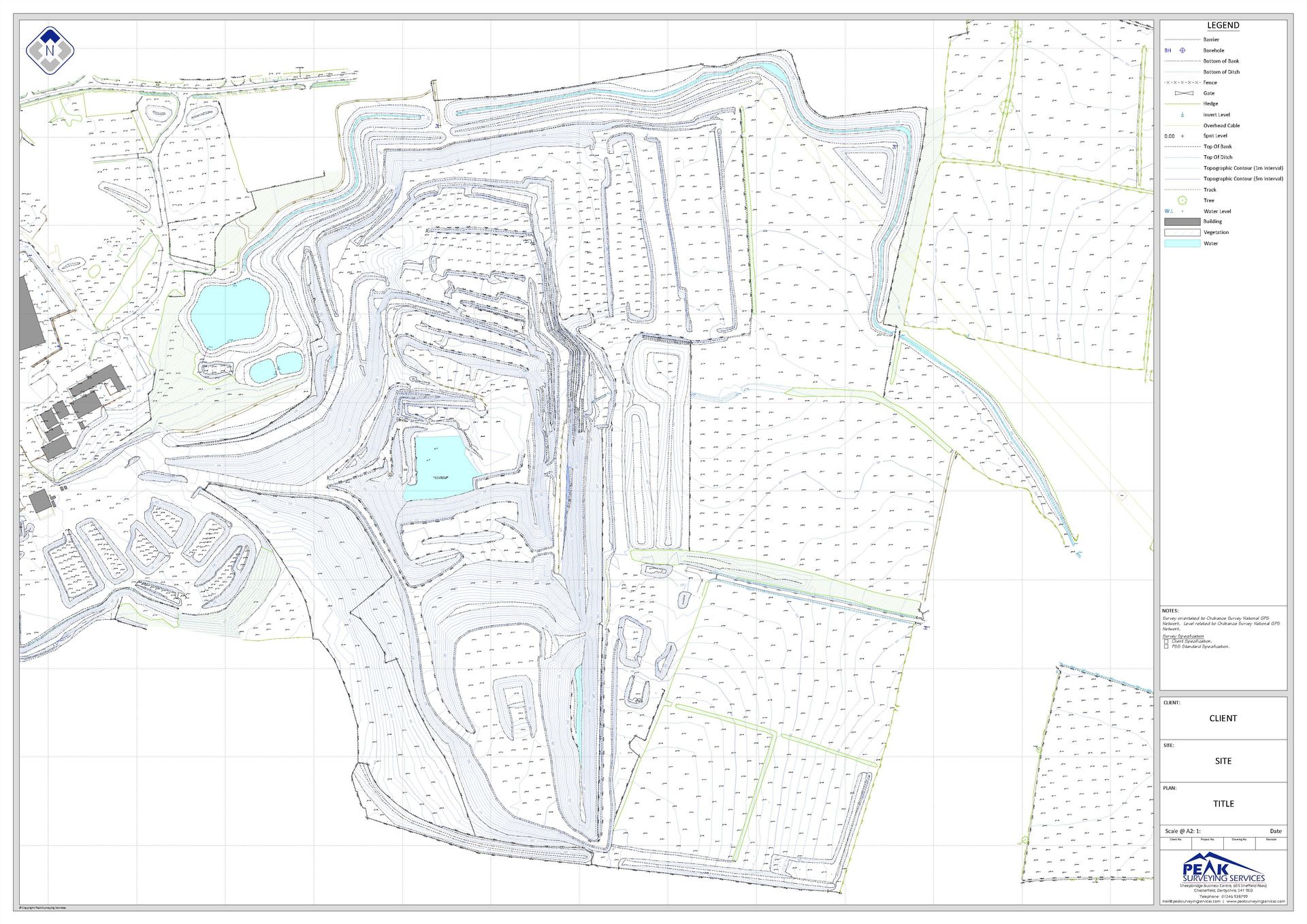
Landform features are captured accurately and can be presented in either 2D or 3D. Hills, valleys, rivers, river beds, roads, rail, vegetation types (including tree surveys) all faithfully recorded and presented.
We offer a full range of surveying services to assist in the design and construction of civil engineering projects, topographical surveys of pre-built sites, volumetric cut and fill calculations for earthmoving and accurate setting out services. A few examples are listed below:
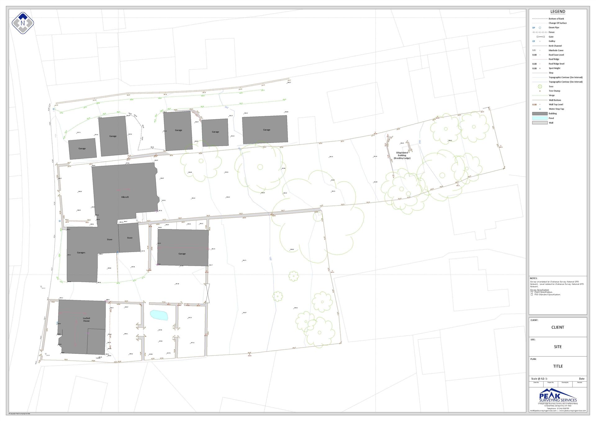
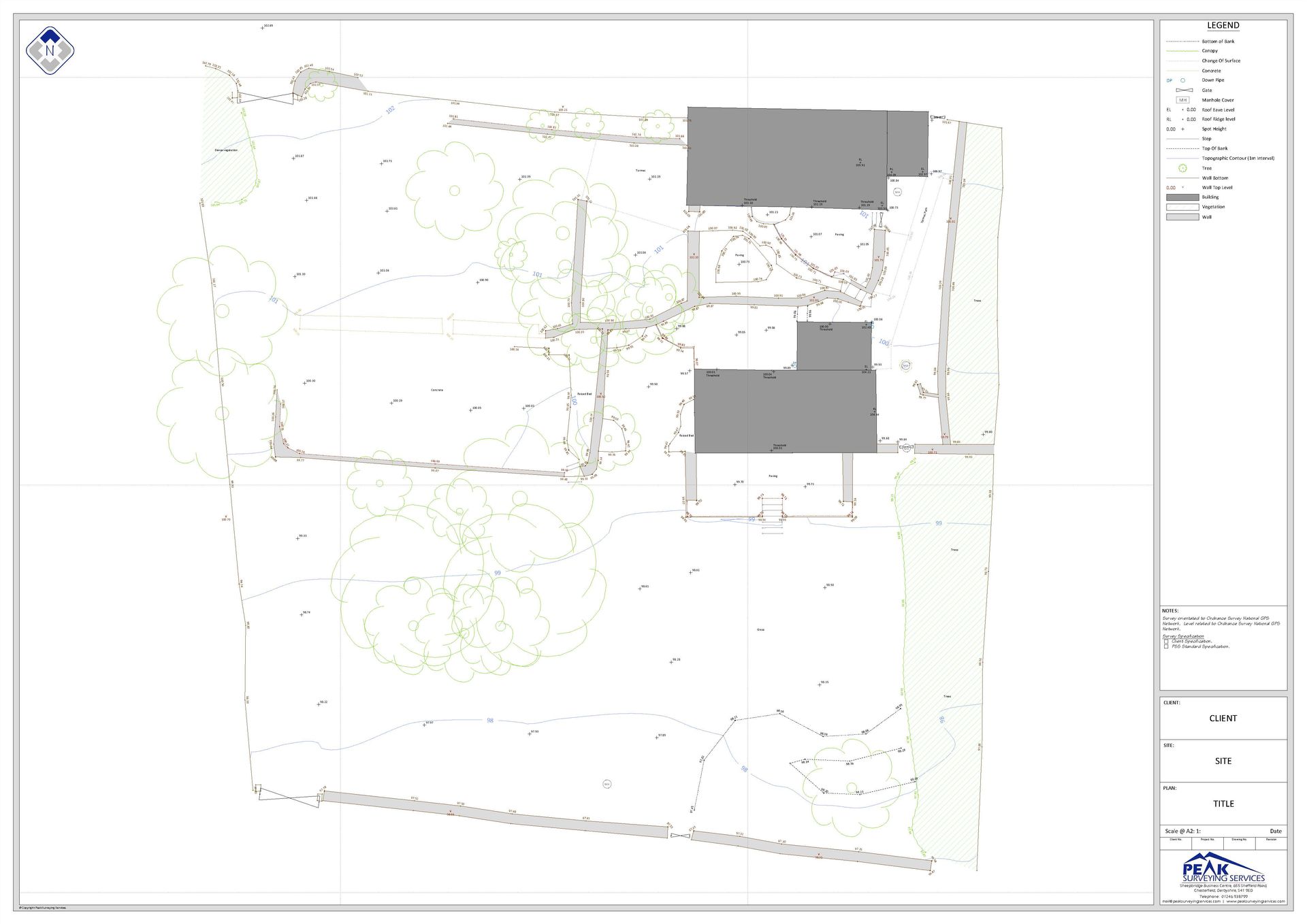
Topographic Land Surveys
Whether greenfield or brownfield sites, urban or rural and everything in between a topographical survey is the base for all small and large scale commercial projects.
Using the latest state of the art technology we provide our clients with high accuracy data at cost effective prices.
Data is supplied in either 3D Digital Terrain Models and/or 2D plans utilising most formats to suit our clients requirements using LSS DTM land surveying software and AutoCAD.
Each and every survey is tailored to the requirements of each client.
Quarry Surveying
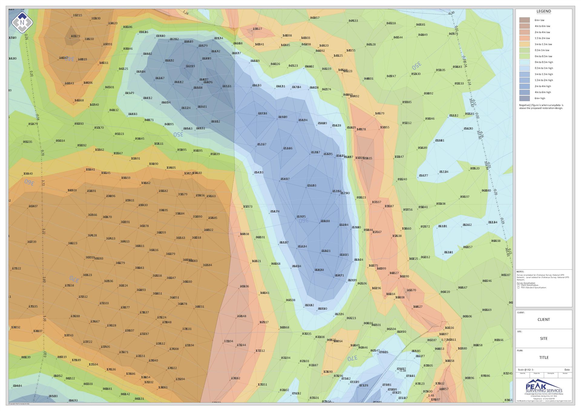
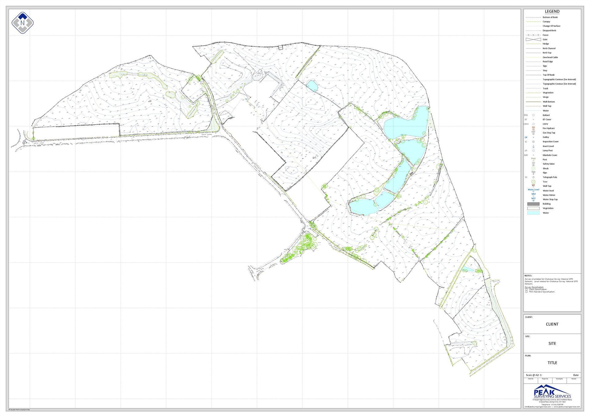
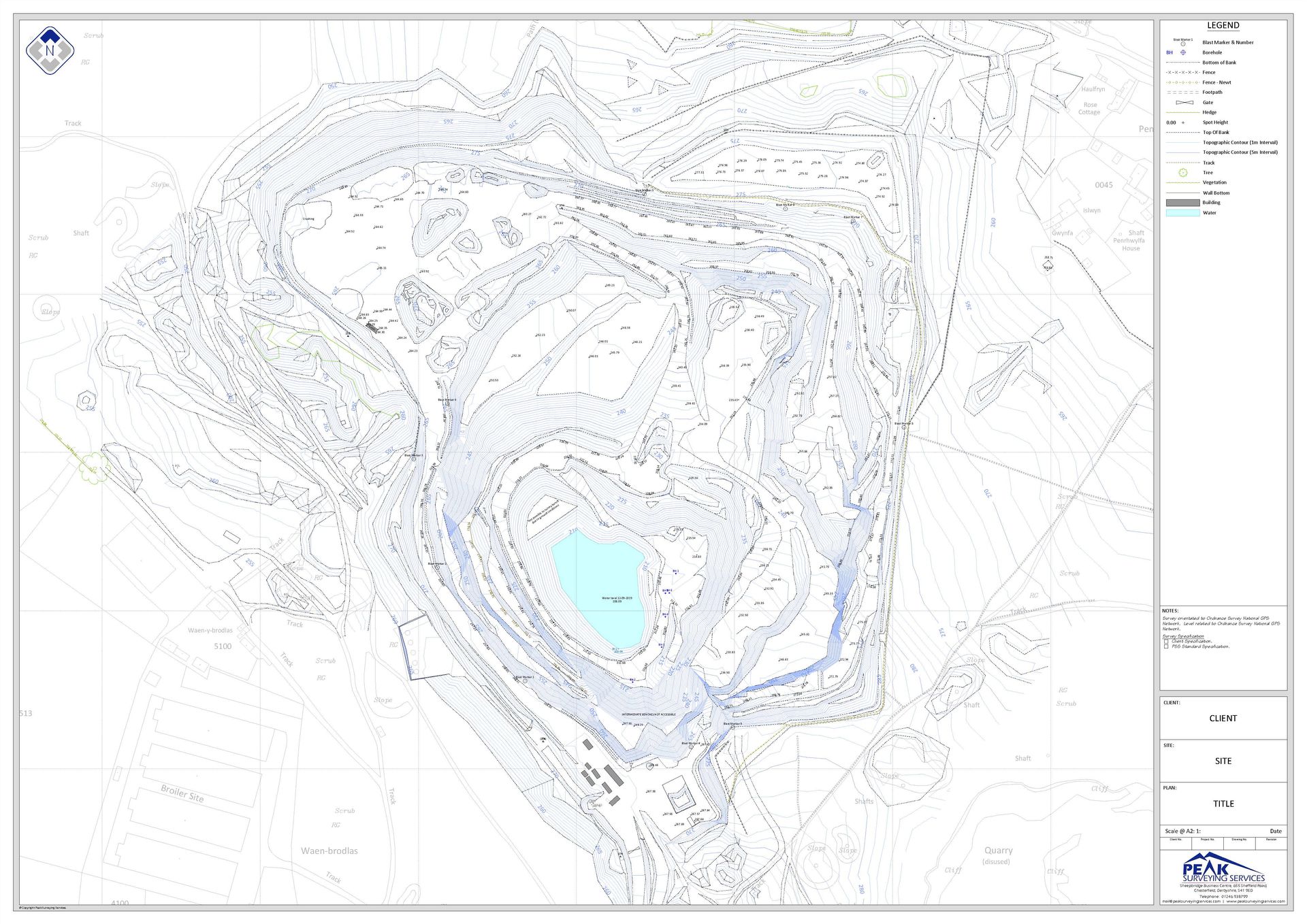
PSS provides services relating to routine operational requirements, for example face setting out, volumetric analysis, phasing design, tip design, slope modelling, screening design etc.
Planning related services available include the use of satellite aerial photographs and 3-dimensional digital data to provide accurate visualisations of proposed developments enabling potential impacts to be assessed and appropriate mitigating screening works to be designed in.
In compliance with the requirements of the Quarries Regulations 1999, PSS can produce quarry topographic survey plans, operational phase drawings, geological cross-sections and full geotechnical appraisals and assessments.
Zones of visual influence (ZVIs) and line of sight sections are readily produced enabling appropriate screening works, operational limits, impacts and mitigation designs to be accurately defined.
For surface operations using LSS software and our in-house geological, geotechnical and operational planning expertise PSS can provide accurate phasing models for minerals extraction proposals from initial void formation to final restoration.
With reflectorless laser scanning techniques PSS can provide accurate excavation face detail for geological and geotechnical slope stability assessment and modelling purposes.
Each and every survey is tailored to the requirements of each client.
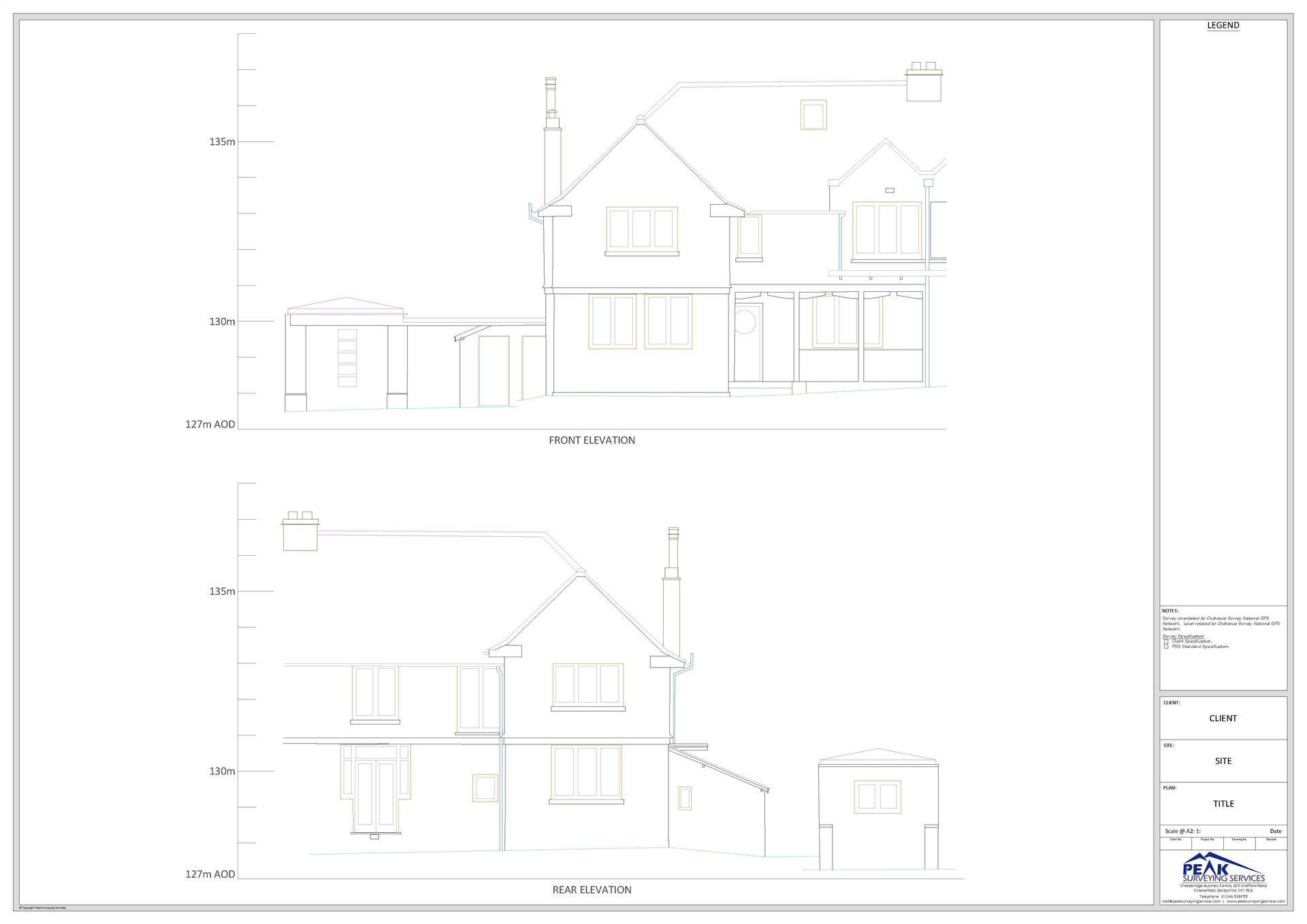
Measured Building Surveys
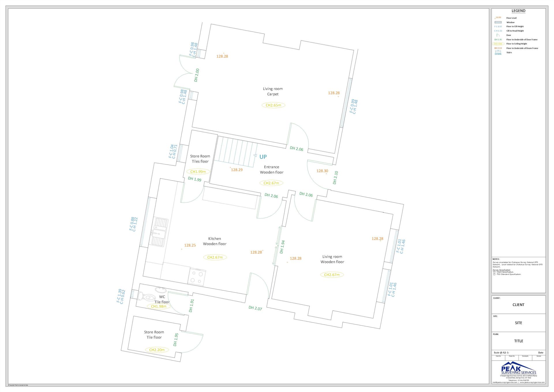
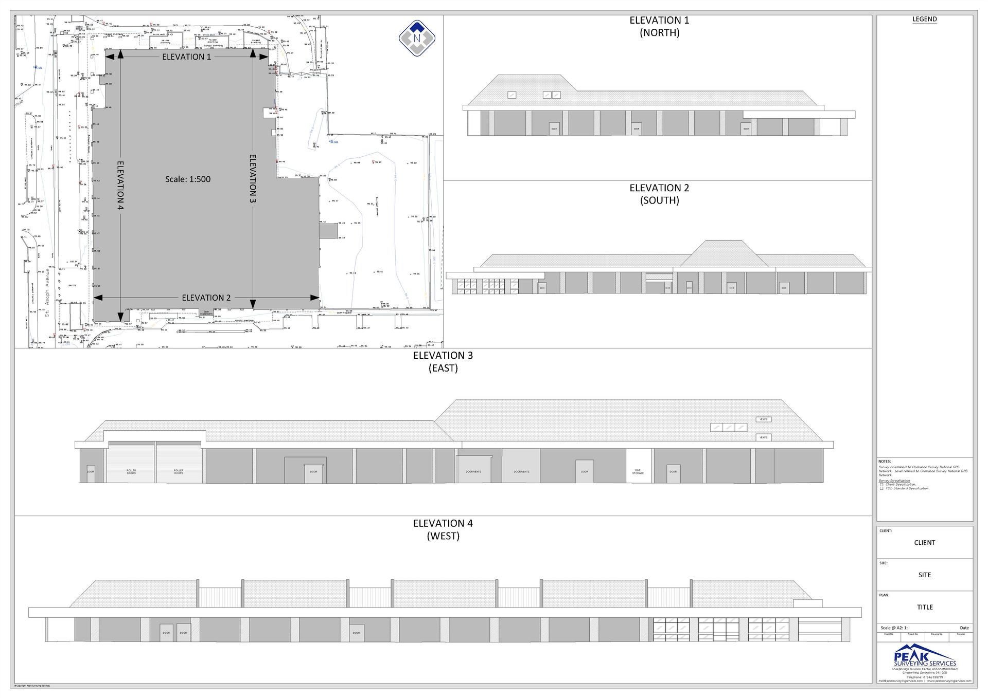
PSS provides a range of building surveying services ranging from simple footprints and floor plans to detailed elevations.
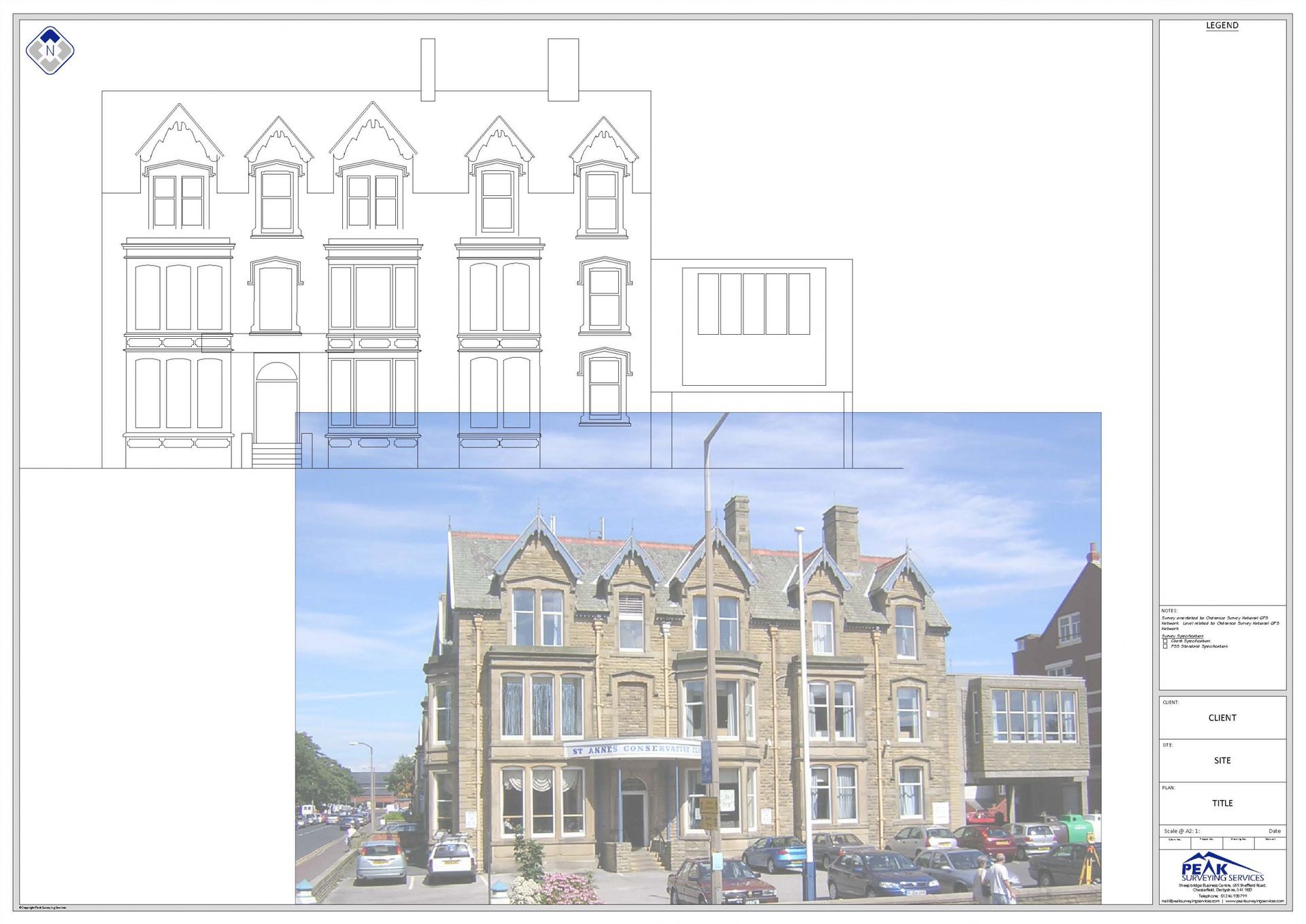
Elevation surveys can be tailored to clients requirements, from a simple survey to define main features such as eaves, ridge heights, building features (ie windows, doors etc.) to detailed surveys of drainage features, roof finishings, window styles, lintels, sills and other architectural detail.
As an invaluable addition to the elevation survey, high quality digital photographs can be draped over the building model to provide either static shots or 3D real time digital models and animations.
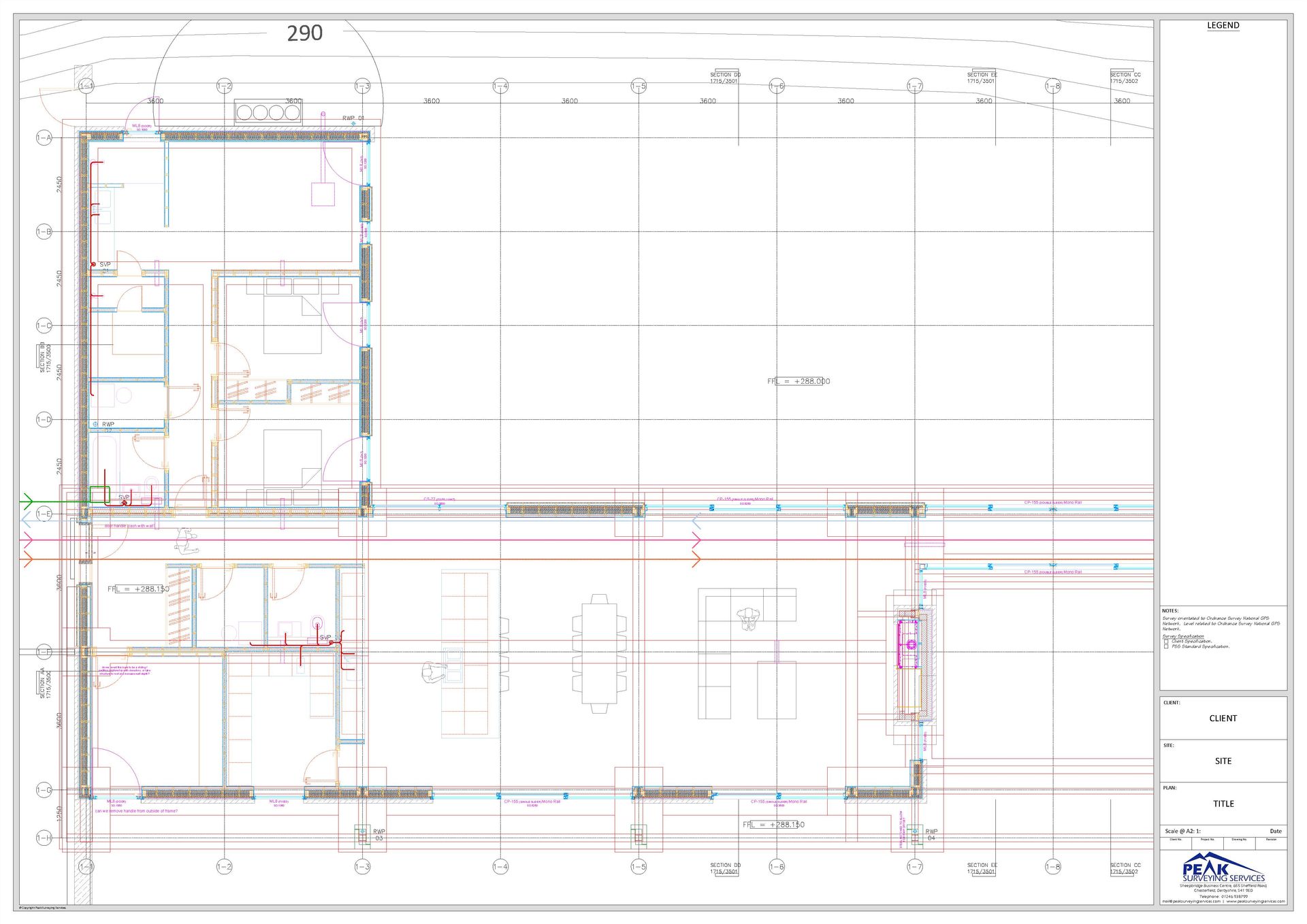
Floor plans can be produced to define wall, door and window locations and heights as well as service outlets, heating/ventilation positions.
Setting Out Works
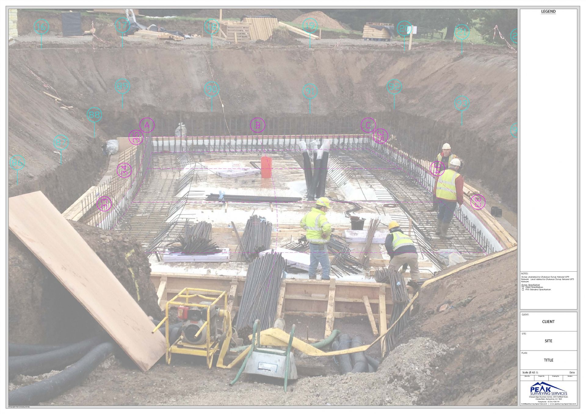
Peak Surveying Services offers various services with relation to setting out:
Establishing ownership boundaries
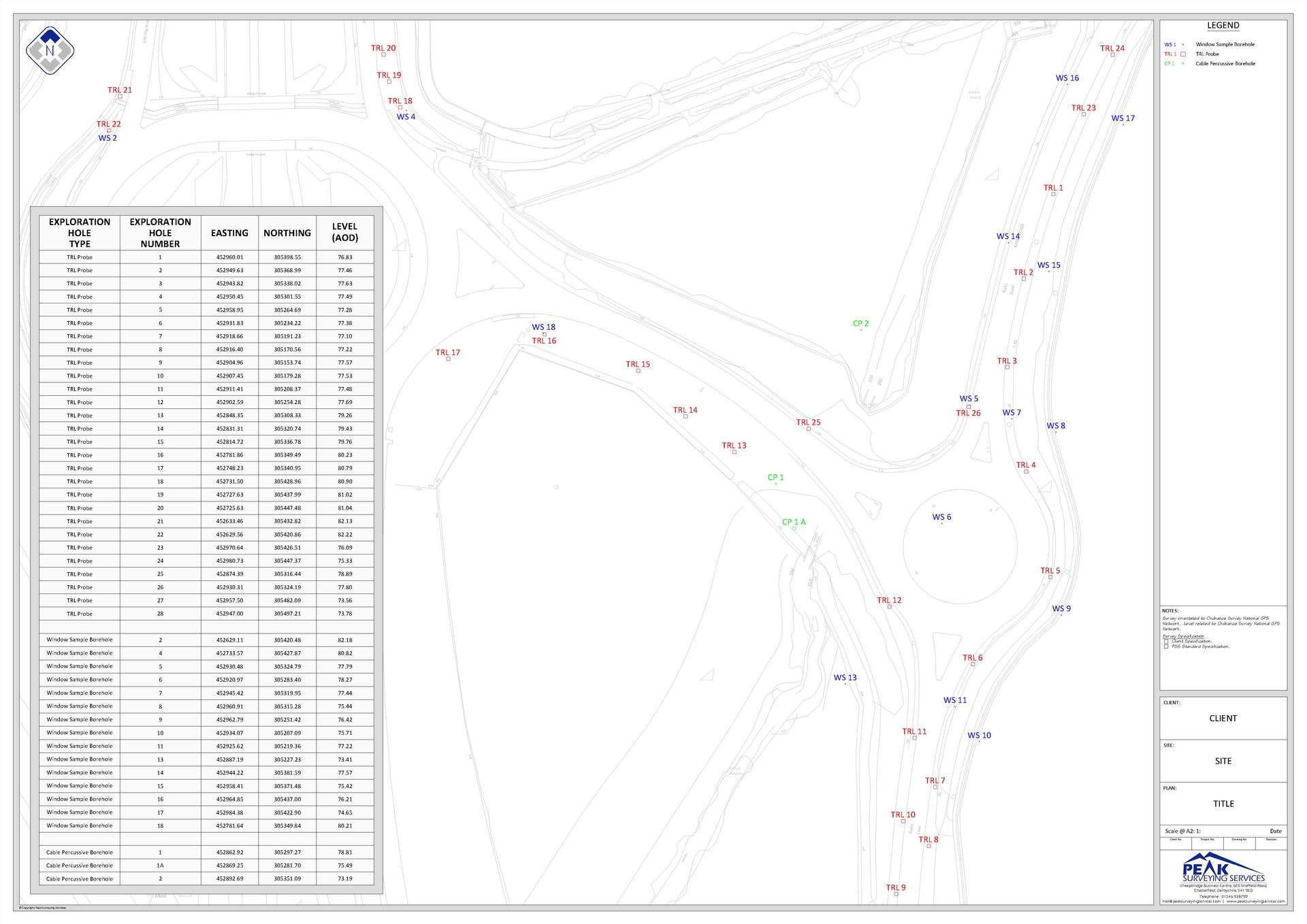
Locations of boreholes and trial pits
Building footprints for new build houses and extensions to existing dwellings
Locations of services and utilities
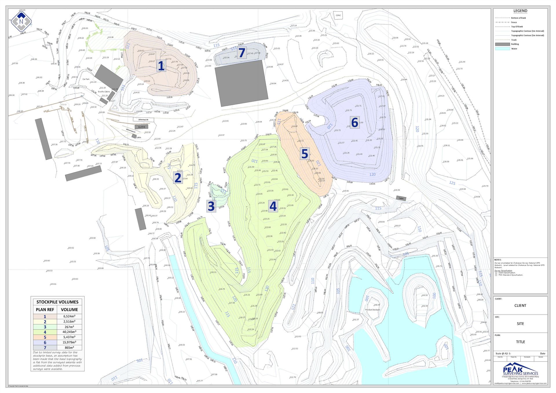
Volumetric Calculations
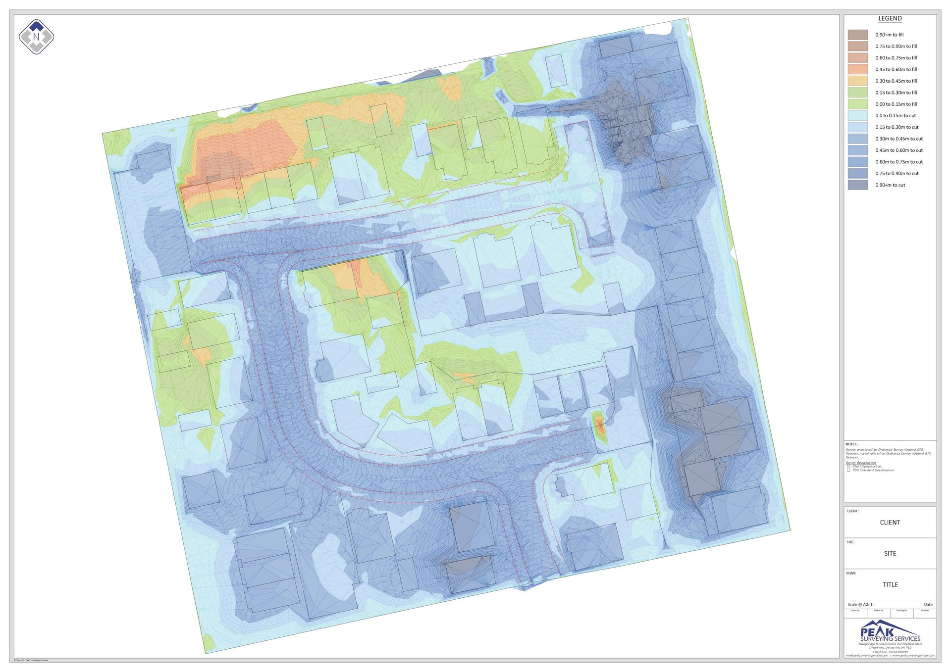
To assist with design and planning PSS offer detailed volumetric analysis and cut/fill isopachyte services.
Calculations can be derived from any combination of to/from a specific site datum, tilted plane or 3D model.
Volumes can be broken down by ‘zones’, such as phases of work or areas of contamination, or cost of extraction.
Isopachytes can be supplied to show cut/fill depths at any required tolerance.